Mapping
An other eclectic collection of maps {and 'desk cleaning'}.
This picture is a visualisation of the entire tree of life (of a cellular organisms)
via greatmap
#
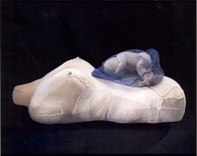
The artist Kathy Prendergast -body map(Unfortunately i have found only one of her body maps for now)
via maphist
Minnesota Road Atlas XXIII is made also by Kathy PrendergastWorks on Paper (Drawings, Watercolors etc.) ink on printed paper 2005
###
Personal pies (self-examination/pie charts, 2007) is an other cool project by Craig Robinson
via serifpublishing
####
The "Gran Manila"- Manila and its districts. 1884.
From A site devoted to Discovering the Philippines
######
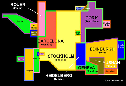
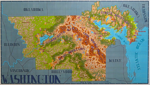
Lordy Rodriguez: New States
#######
New York and Environs.

New York and Environs. 1859 John Bachman. American lithographic firm, 1849–79. Color lithograph more at the NYPL Digital Gllery:
Birdseye View of Central Park - John Bachman - 1859:

via personism
#######
Historical Tsunami Travel Time Maps
########
Fictitious southern continent
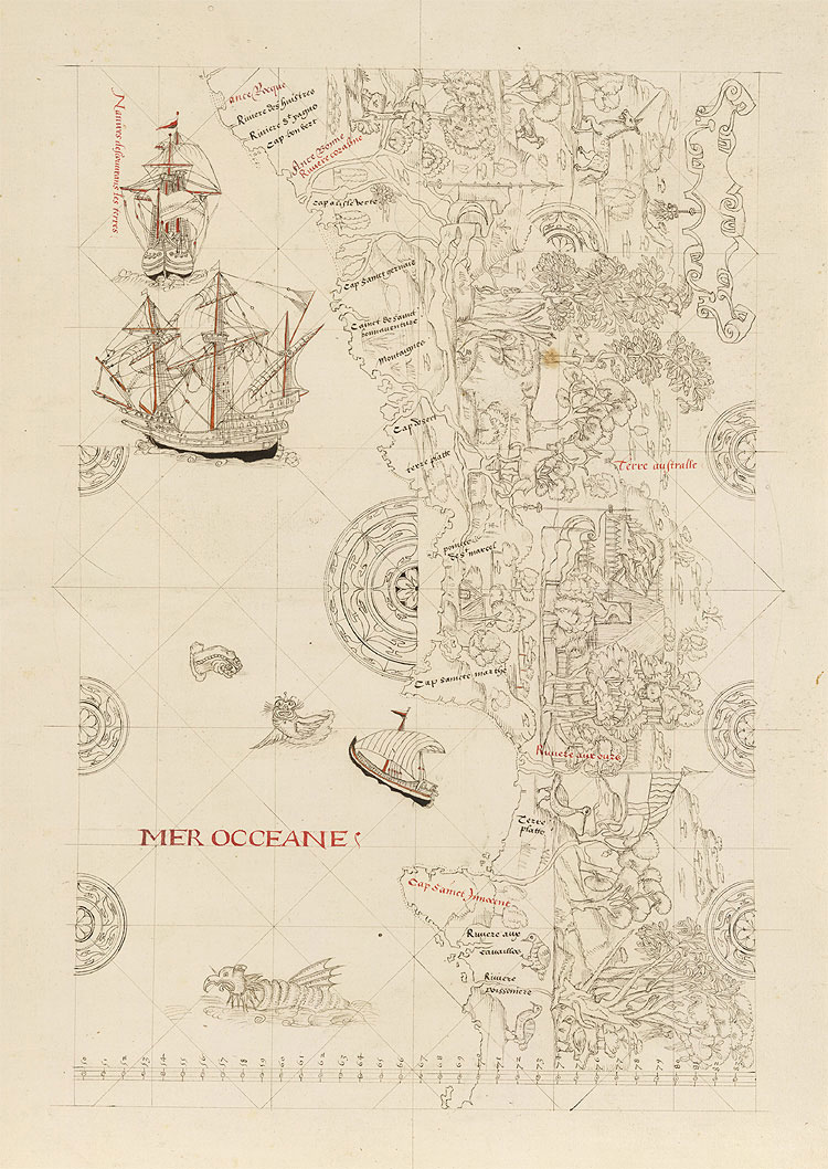
Map of a made-up southern continent, late 1500s via The British Library - Deception, lies, and made-up lands
#########
The Unveiling of Britain -from one of my favorites selection of maps (823 items) shows "views that traces the growing awareness of the form of British Isles and their place in the wider world during the years between 800 and 1600".
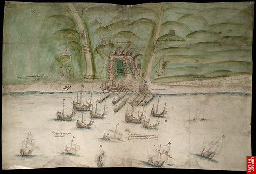
Plan of Brighton under Attack. Ink and tempera on parchment, 45x78 centimetres
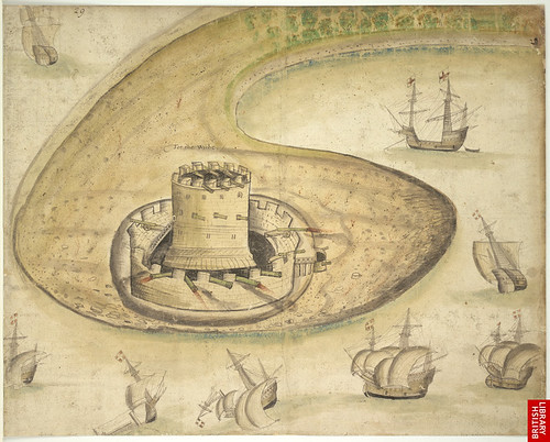
A drawing of Calshot Castle near Weymouth, Dorset, dating from 1539
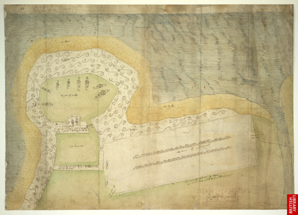
A Plan of Aymouth, or Eyemouth, [Berwickshire] taken in 1557, in which year it was fortified by Henri Clutin, Sieur d'Oysell et de Ville Parisis
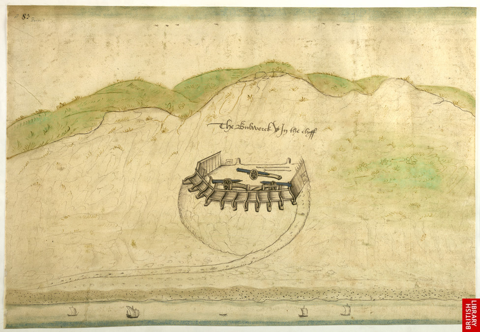
A Coloured View of the North Cliffs, Dover, Showing the "Bulwerck in the Clyff", around 1541








.jpg)
.jpg)

