islands
On 13 May 1787 eleven ships, now commonly referred to as The First Fleet, set sail from Portsmouth to establish a colony in New South Wales, Australia. One of the unplanned but long-lasting outcomes of this event was the large number of outstanding drawings of aboriginal people, the environment and wildlife {PK - was thinking you might like IT} found on arrival as well as of the early foundation of the colony.
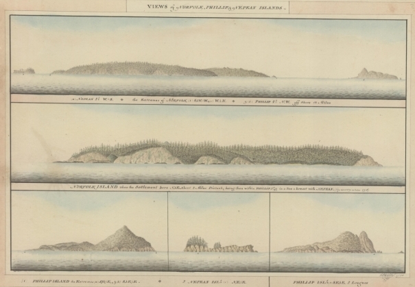
Views of Norfolk, Phillip and Nepean Islands, 1790
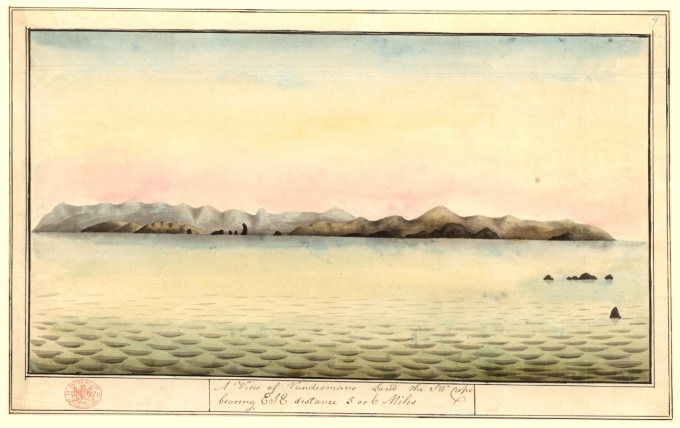
A View of Vandiemans Land the SW Cape bearing ESE distance 5 or 6 Miles
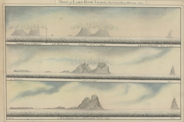
Views of Lord Howe Island, Discovered by Lieutenant Ball February 1788


4 comments:
Oooh. Thanks for that. You just stole an hour from my life at NHM. I think a lot of the collection is also online here in Oz. Great stuff, cheers!
Wonderful; I am looking forward to seeing more of these unique maps.
totally wonderful sublime images.... thanks for these!
Bravo!
Post a Comment